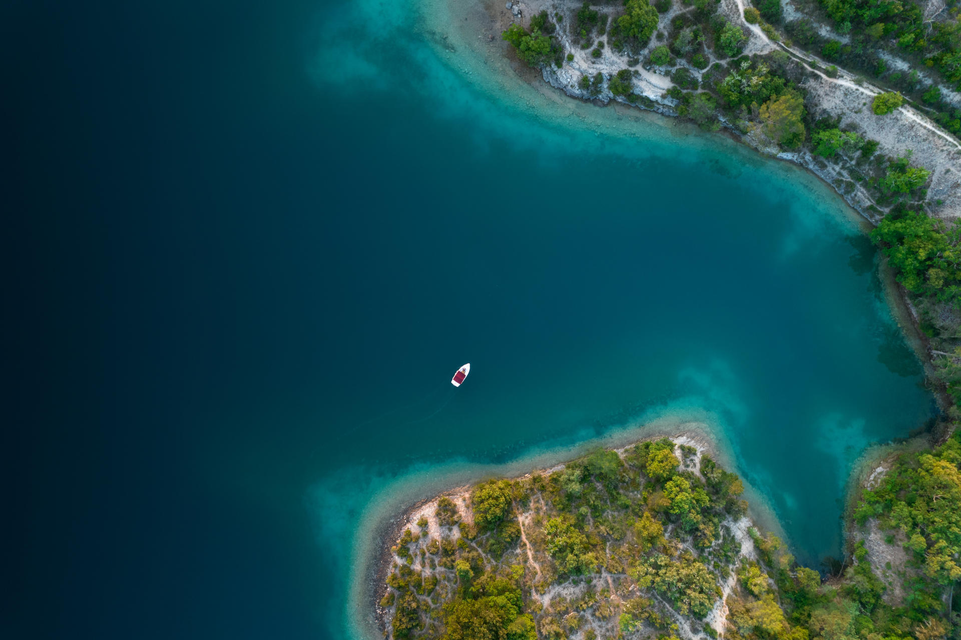
Explore the lower Gorges du Verdon with our interactive map
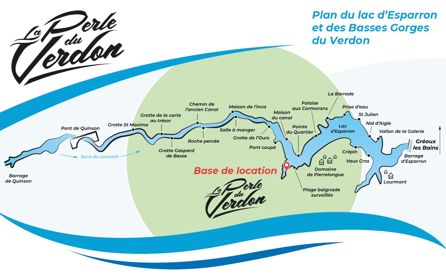
You wish to explore the Low Gorges of Verdon between Quinson and Esparron de Verdon? Our Interactive map of the lower Gorges du Verdon will give you the essential information to find your way. Indeed, on your way, you will discover legendary caves, sometimes submerged vestiges,, characteristic cliffs. It is by clicking on the remarkable points of the map that you make appear the information.
Your itinerary by boat or canoe in the Lower Gorges
Prepare your itinerary for a day or half-day trip to these magnificent places. Remember that it takes one day to cover the entire Lower Gorges, which is more than 20 kilometers round trip. So our interactive map of the lower Gorges du Verdon helps you to find your way around: a copy of this map will be given to you when you rent a boat from La Perle du Verdon.
Reminder of the safety rules in the Lower Gorges
However three rules to respect: do not dive from the riverbanks of the Gorges, do not dock with your boat or pedals. Do not leave any waste behind and respect nature.
In conclusion respecting nature means understanding the fragility of this magnificent environment. Abandon your mobile phone and your loudspeaker for this excursion in the lower Gorges.


